Description
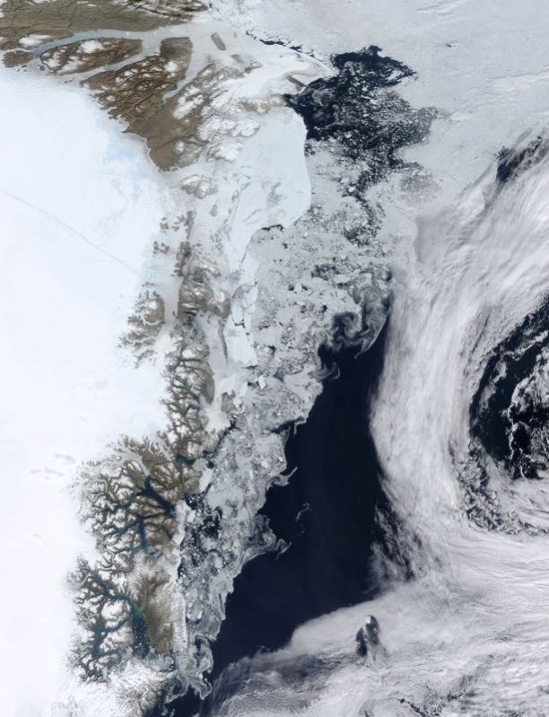
Satellite image of sea ice in summer 2015 forming patterns off the coast of Greenland (left). Clouds are at right. The clear water (blue) at centre is the Fram Strait. At upper left are several glaciers, including Zachariae Isstrom. Icebergs from the glaciers helps to maintain sea ice even at the height of summer. This summer was a warm one, with a low minimum for sea ice. The minimum occurs around late August or early September. The loss of summer sea ice will accelerate climate change. Image obtained on 16 July 2015 by the Moderate Resolution Imaging Spectroradiometer (MODIS) sensor on NASA’s Aqua satellite. (Photo by Science Photo Library Archive)


Reviews
There are no reviews yet.